South-Folwell Safe Routes to School
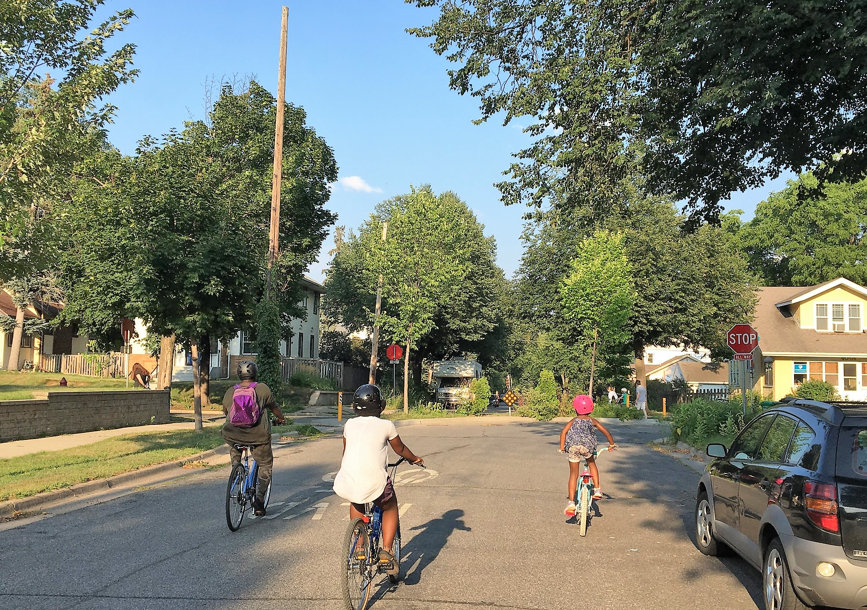
This is a Safe Routes to School project focused on South High and Folwell Community schools. The City will be improving traffic safety on 21st Ave S to make walking and biking to school easier.
Project overview
This Safe Routes to School project will improve 21st Ave S between 28th Street and 43rd Street. The project area includes South High School, Folwell Community School, and several parks. We want to make the street safer for everyone. To do that, we are going to think about different ways to slow down traffic on the street.
Read the South-Folwell project overview
Project goals
- Make it easier to walk, bike, roll and take the bus to schools
- Create a calmer neighborhood street for users of all ages and abilities
- Improve access to other neighborhood destinations
- Address traffic safety needs at high injury street intersections
Concept layout
The project has finalized a concept layout and will now move on to final design. You can view the concept layout with the link below. The concept layout includes many traffic calming treatments and safety improvements along 21st Ave S. These include:
- Traffic circles
- Raised pedestrian crossings
- Speed humps
- Pedestrian safety islands
- A protected bikeway between E 28th St and Lake St
- A median diverter and flashing crossing beacon at E 35th St
- Curb extensions and expanded boulevard space

Project resources
Provide feedback on the project area
The City has created an interactive map that you can use to provide feedback on the project area.
Project phase
This project is in the design phase.
Input
Design
In Progress
Complete
Sign up for project updates
Sign up to get alerts about this project. You'll need to provide your email address.
Safe Routes to School projects
For more information on other Safe Routes to School (SRTS) safety improvements, visit the Safe Routes to School program page.
Contact us
Bria Fast
Transportation Planner
Public Works
Phone
Address
Public Service Building
505 Fourth Avenue South, Room 410
Minneapolis, MN 55415
Andrew Schmitz
Associate Transportation Planner
Public Works
Phone
Address
Public Service Building
505 Fourth Avenue South, Room 410
Minneapolis, MN 55415