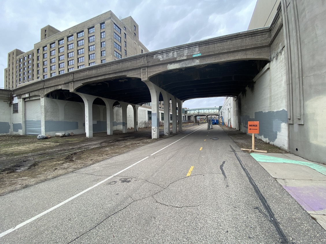
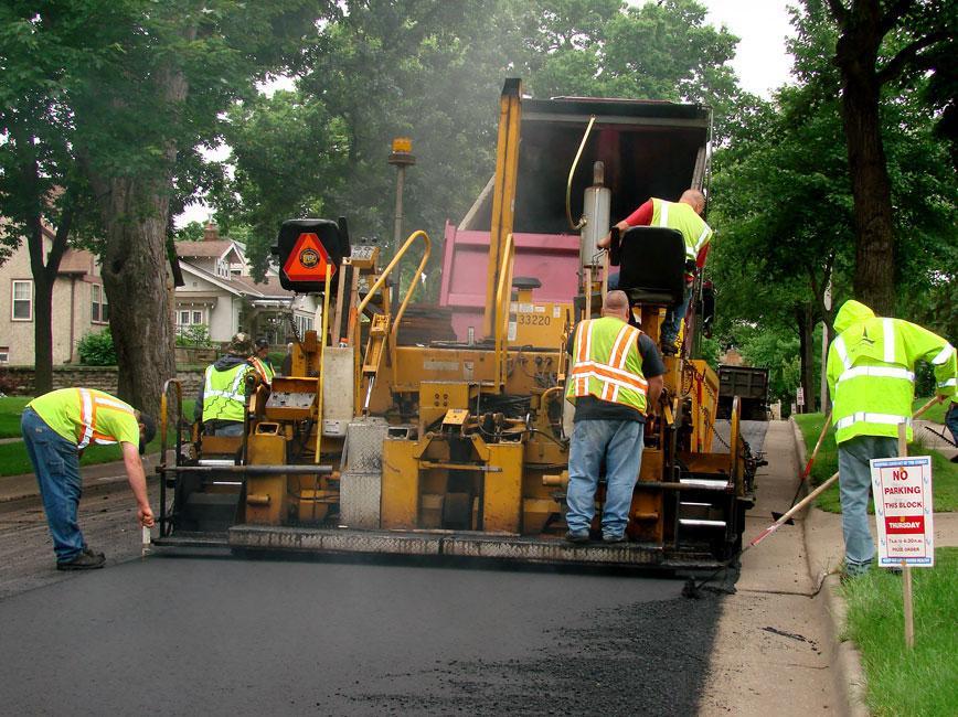
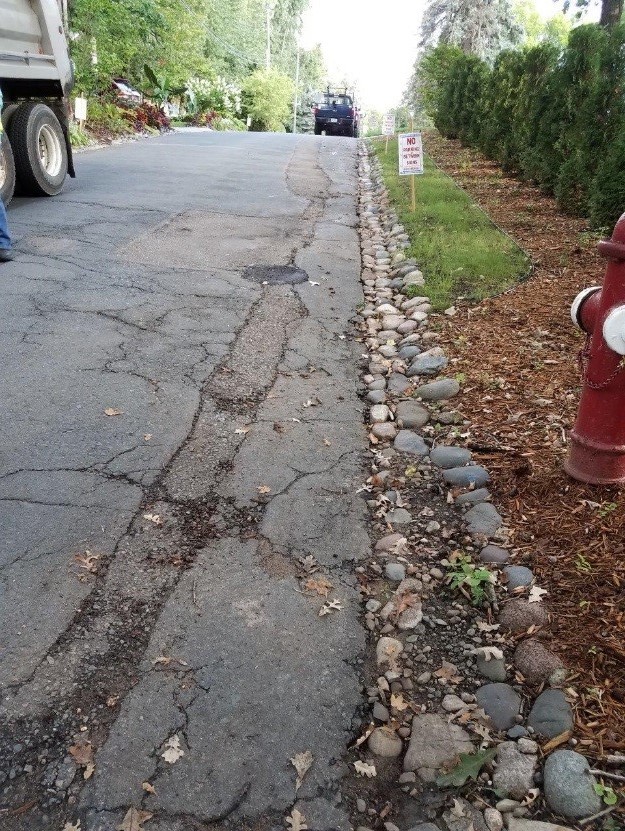
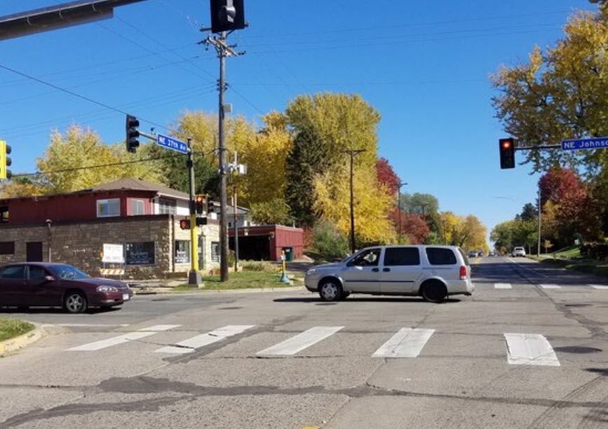
Anna Flintoft, Project Manager
Department of Public Works
(612) 673-3885
anna.flintoft@minneapolismn.gov


Nicollet-Central Transit Alternatives Study

The Nicollet‐Central Transit Alternatives Project will identify a preferred transit enhancement which could serve as a first phase of a longer‐range vision for transit service throughout the 9.2‐mile corridor, which extends from the 46th Street/I‐35W Transit Station and Nicollet Avenue on the south, through Nicollet Mall in downtown Minneapolis, and to the Columbia Heights Transit Center on the north via Central Avenue. The Project will determine the benefits, costs and impacts of implementing a variety of transit modes and service types, including streetcar and enhanced bus options, to identify a locally preferred alternative for inclusion in the Metropolitan Council’s 2030 Transportation Policy Plan.

During a one-year process, the project will:

  • Identify a series of performance measures including mobility needs and land use/economic development goals to be supported by the preferred alternative
  • Compare different transit modes and service alternatives (including streetcar and enhanced bus operations) and alignment termini to identify the best alternative for the corridor
  • Provide a transparent and inclusive public engagement process that will involve all stakeholders in the decision making process
  • Facilitate a local decision making process that identifies a locally preferred alternative that can attract federal transit funds

Proposed Alignment and Stops

View Interactive Map

Last updated Feb. 15, 2013